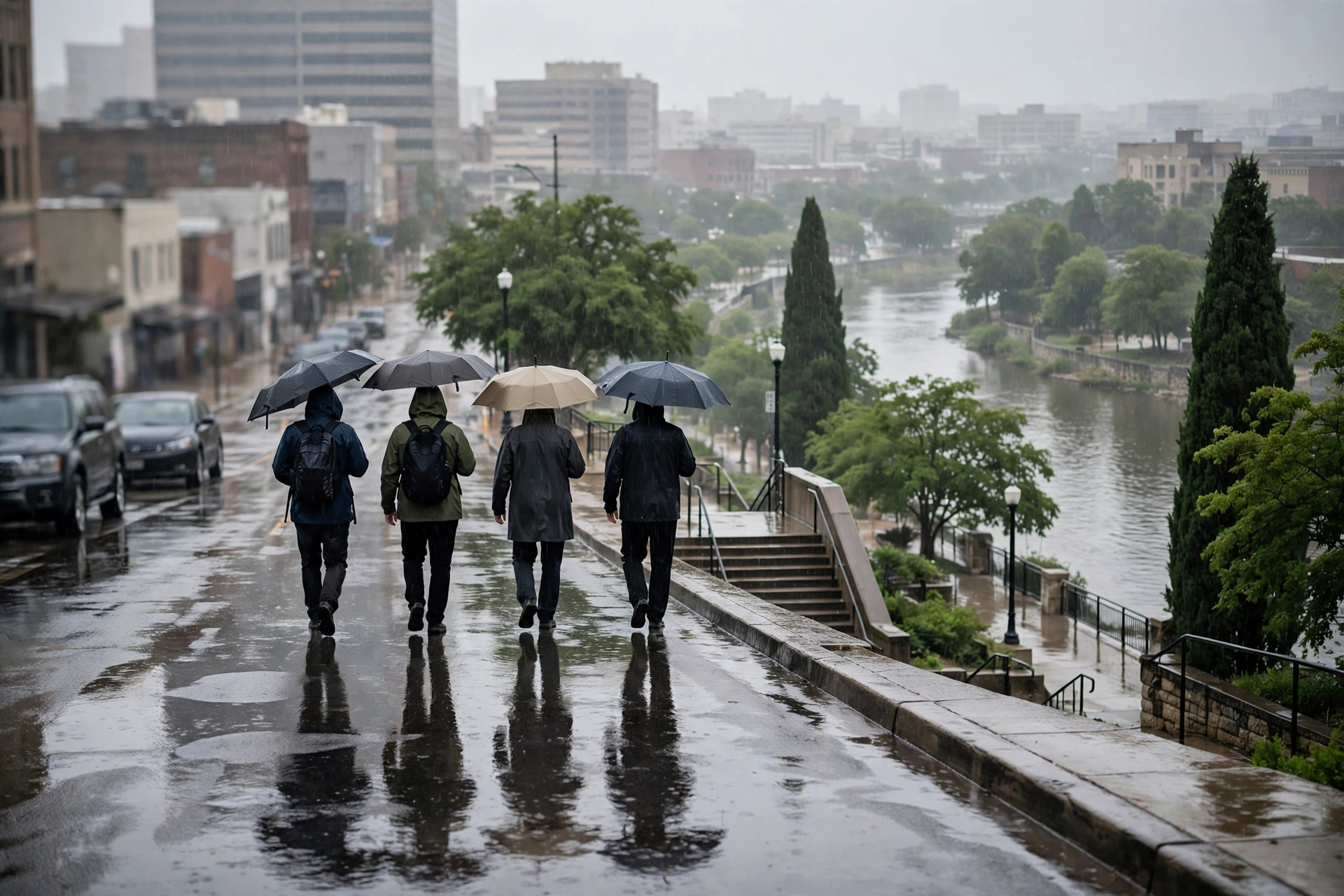
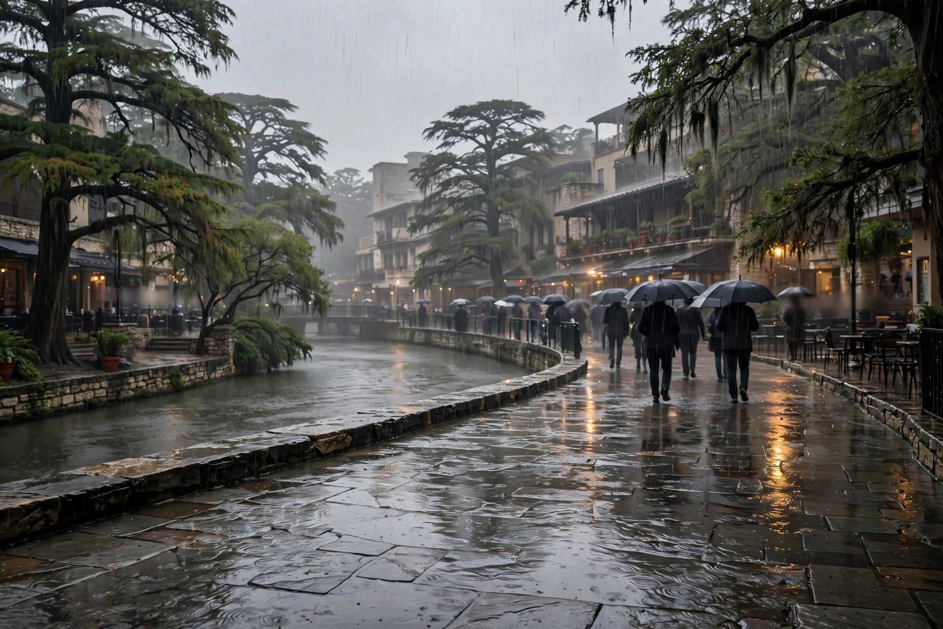
Midday Heavy Rain Soaks San Antonio as a Level 2 Flash-Flood Risk Sits West of the City Through Friday Morning
The station's live feed showed 69 degrees and rain at midmorning with a high near 76, while the National Weather Service warned of locally heavy rainfall and a Level 2 out of 4 excessive-rain risk for the Rio Grande and southern Edwards Plateau through Friday morning.
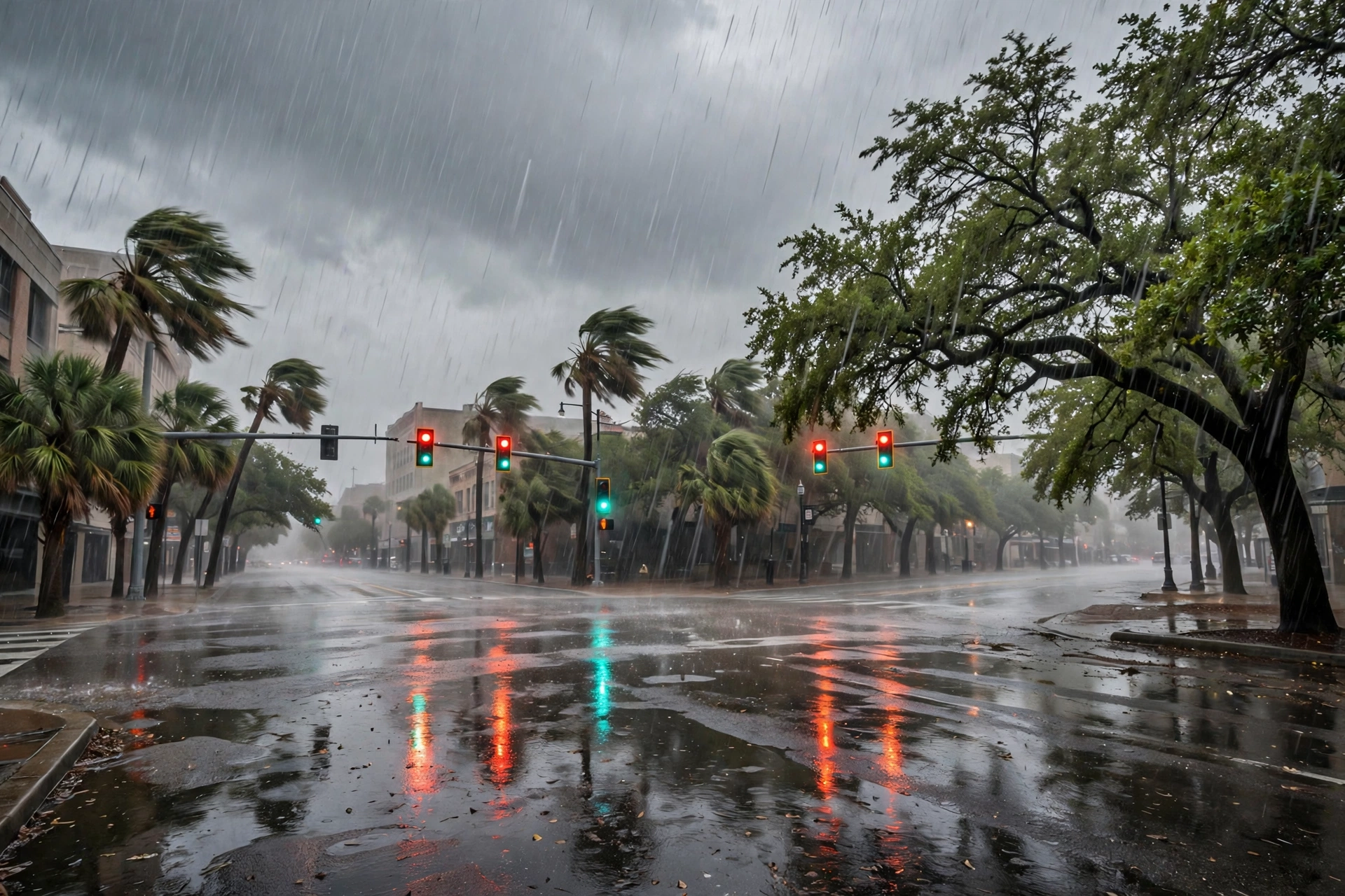
San Antonio's Thursday turned into a soaker by midmorning. The station's live Open-Meteo feed read 69.4 degrees with rain at midmorning, a Thursday high of 75.7 and a low of 69.2, and a 73 percent precipitation chance for the day — and the hourly outlook read this run pointed to the heaviest rain around midday before showers taper toward evening.

The National Weather Service, via KTSA's updated Thursday report, expects scattered to widespread showers and thunderstorms across South Texas through Friday morning, with locally heavy rainfall possible. The highest rain chances sit in the Rio Grande region and the southern Edwards Plateau, where forecasters warn of a Level 2 out of 4 risk for excessive rainfall and possible flash flooding, plus a minor risk of river flooding. The severe threat — damaging winds, large hail and tornadoes — remains very low, forecasters said.
Friday stays wet on the live feed — a high of 74.1, a low of 66.5 and a 38 percent precipitation chance — and KTSA's report says rain chances linger into Saturday, though the potential for heavy rainfall decreases after Friday afternoon. Drivers should treat low-water crossings west of the city with the usual caution through Friday morning and never drive through flooded roads.
The weekend then dries and warms on the feed: Saturday 82.5, Sunday 84.3 and Monday 85.4, before thunderstorms return to the outlook Tuesday (79.9, 38 percent) and Wednesday clears near 79. The Weather Desk updates the forecast again on the 17:00 file.